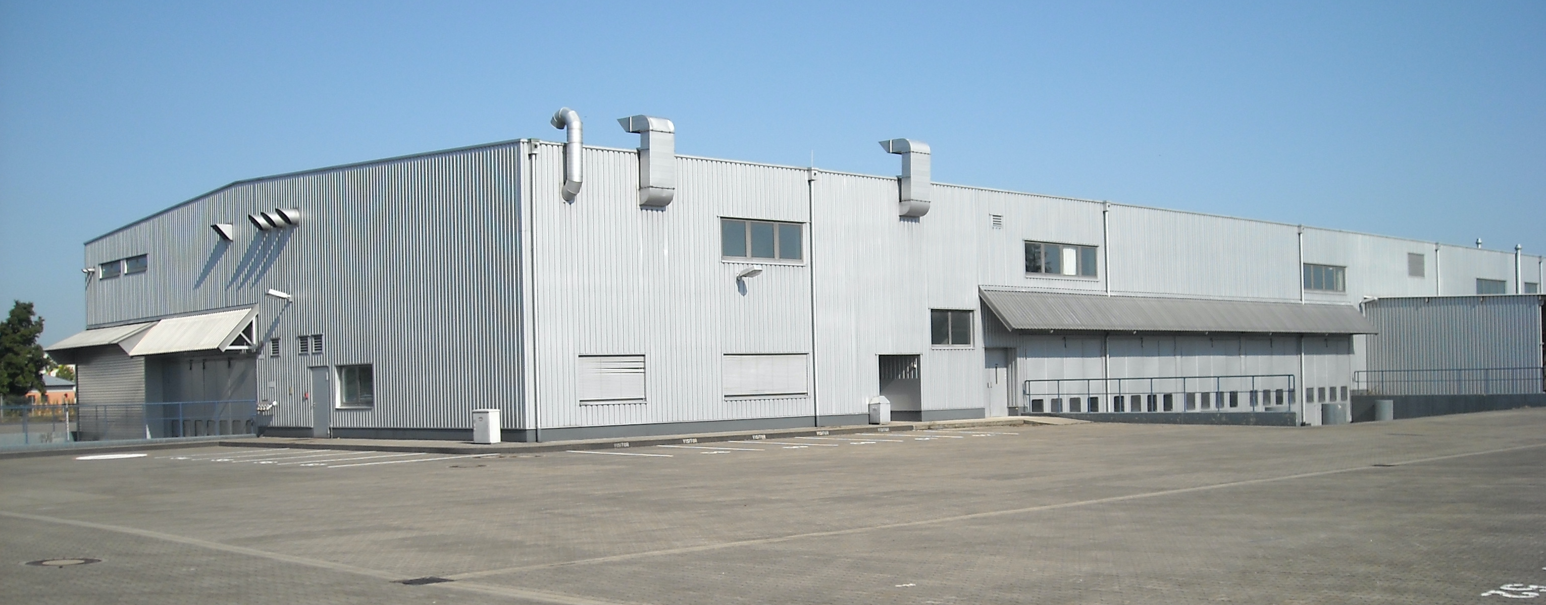
Environmental Site Assessment (ESA)
BfUG can also be commissioned to complete an Environmental Site Assessment (ESA).
The purpose of the ESA is to identify possible environmental conditions in connection with the property to the extent feasible, pursuant to a process comparable to a Phase I and Phase II ESA as conducted in the United States. The scope of work, subsurface investigation and evaluation of data will be performed according to German laws and regulations.
Information on the historic site use is in some parts comparable to a Phase I ESA.
In comparison to German laws and regulations, especially BBodSchG and BBodSchV, Phase I more or less correlates with the „historische Untersuchung, or HU“, which is a historic research. This is confined to the subject of the environmental investigation only, hence no information of adjacent sites with possible or known soil and/or groundwater contamination can be made available. Such sites, if recognized, are on file within the local authorities, but they are kept confidential and can only be accessed by the owner of those properties.
During the historical review, areas of concern (“Gefahrverdachtsbereiche”) are identified, where in the past hazardous materials were stored or handled with. A first evaluation is made solely on the information gathered through the HU, and no subsurface investigations are made during this phase. Based on the information, a ranking is established. Sites with a high risk of a potential groundwater contamination will undergo a procedure comparable to a Phase II ESA.
The boring plan will be prepared based on information gathered by the historical research. According to German regulations as stated in the BBodSchV, historical research leads to certain areas of concern („Gefahrverdachtsbereiche“). These are areas with a defined high risk of contaminants being introduced into the soil or groundwater.
If no other leads for further possible areas of concern are provided, a standard boring plan is used. This consists of a straight line of borings in the groundwarer down gradient of the area, which are to be advanced at least 1 m below groundwater surface (depending on the contaminants). With this installation of borings, the groundwater underflow can be assessed. There is a higher probability of identifying contaminants introduced from inside the buildings or the vast area in the groundwater upstream.
This drilling method is comparable to Drive Sampling, in which a half-open sampling tube is forced into the ground by dynamic impact caused by a hydraulic driven hammer. The tube diameter of the first meter is 80 mm, and the following meters are 60 mm in diameter. Logs of boreholes are made according to ISO 14688-1 and ISO 14689-1.
The German environmental laws considers different paths, on which contaminants can be exposed:
Soil – Groundwater: chemicals, which are contained in soil, can reach the groundwatertable and pollute the water.
Soil – Humans: chemicals are directly exposed to humans through oral intake or dermatological contact, or through gaseous transmission into building.
Soil – plants: contamination of crops or animal fodder (gras, corn, hay), which might affect humans as a secondary source.
Soil – surface waters: Pollution of surface waters through erosion.
If a transfer of a contaminant one of these paths is possible or already has taken place, a site remediation must be executed. The extent of these measures strongly depends the future use of the site. In most cases, a remediation can be done by excavation of the hot spots or the sealing of the area.
